
As summer gives way to autumn, Kashmir is entering the season when one question begins to gather unusual weight: what kind of winter is coming?
The answer, at least for now, cannot be found in the tropical Pacific alone.
El Niño is strengthening and is expected to persist through the Northern Hemisphere winter of 2026-27. The latest United States National Oceanic and Atmospheric Administration (NOAA) Climate Prediction Centre outlook puts the probability of El Niño at 100 percent for the October-December, November-January, December-February and January-March seasons, with an 82 percent probability that it will still be present in March-May 2027.
For Kashmir, however, that does not translate neatly into a forecast of a snowless or mild winter.
The region’s winter is governed by a far more complicated atmospheric choreography—Western Disturbances, the position and strength of the jet stream, the North Atlantic Oscillation and the availability of moisture among the most important factors. El Niño can alter the broader atmospheric background, but the systems that actually bring winter precipitation to the western Himalaya operate within a much more intricate circulation pattern.
That distinction is becoming increasingly important as Kashmir approaches another winter after several recent seasons marked by prolonged dry spells and fewer cold days.
Climatologist Sonam Lotus said the latest Monsoon Mission Coupled Forecast System showed El Niño strengthening. Forecasts from NOAA and its Climate Prediction Centre indicate that the event is expected to remain in place through the coming winter, while the India Meteorological Department has also been projecting persistence into the early part of 2027.
The broad signal, Lotus said, may favour warmer-than-normal temperatures over Jammu and Kashmir and Ladakh.
But a temperature signal is not the same thing as a snowfall forecast.
“It is too early to conclusively forecast a warm winter,” Lotus said, pointing instead to the frequency and intensity of Western Disturbances and other mid-latitude circulation patterns as critical determinants of winter precipitation.
More reliable regional guidance is likely to emerge during October and November, with greater confidence expected closer to December.
That waiting period matters because Kashmir’s winter weather is unusually sensitive to relatively small changes in the atmospheric pattern over and around the Himalaya.
El Niño and La Niña are opposite phases of the El Niño-Southern Oscillation, or ENSO, a recurring climate pattern centred on the tropical Pacific Ocean. El Niño is associated with warmer-than-average sea-surface temperatures in the central and eastern equatorial Pacific, while La Niña involves cooler-than-average waters.
Because the tropical Pacific is connected to atmospheric circulation around the globe, ENSO can influence weather patterns thousands of kilometres away.
But influence is not control.
NOAA’s September outlook says El Niño is strengthening, with a greater than 90 percent chance of a very strong event during the Northern Hemisphere autumn and winter of 2026-27. The agency also cautions that even very strong El Niño events do not guarantee the typical impacts everywhere.
For Kashmir, this caveat is particularly relevant.
Last winter demonstrated why.
Despite expectations in some quarters that the prevailing La Niña pattern would favour significant snowfall, Kashmir and Ladakh experienced a warm and largely snow-deficient winter. The episode offered a reminder that a global climate phase cannot simply be translated into a local seasonal forecast.
“Winter outlook in J&K, Ladakh and elsewhere is not subservient to El Nino or La Nina alone,” Lotus said.
The weather of the Himalaya has its own immediate drivers.
Among them, Western Disturbances remain central.
These are eastward-moving weather systems embedded in the mid-latitude westerlies that travel towards the Indian subcontinent and can bring rain and snow to Jammu and Kashmir, Ladakh and other parts of the western Himalaya during the colder months.
For Kashmir, a winter can change dramatically with just a handful of active systems.
A prolonged period of clear skies and relatively mild temperatures may dominate for weeks. Then a strong Western Disturbance can arrive, drawing in moisture and producing widespread rain or heavy snowfall. The seasonal precipitation total can consequently be shaped by a relatively small number of events.
Hydrogeologist Dr Riyaz Ahmad Mir, a scientist at the National Institute of Hydrology’s Western Himalayan Regional Centre in Jammu, said El Niño could favour relatively warmer and drier conditions in J&K during 2026-27.
But that does not necessarily mean a mild winter or a dramatic decline in Western Disturbances.
El Niño, Mir said, could modify subtropical westerly circulation, potentially producing fewer disturbances but stronger individual systems.
That possibility points towards a winter of contrasts: longer warm and dry intervals interrupted by occasional intense snowfall or precipitation events.
Such a season would be very different from one in which snowfall steadily declines throughout the winter.
The jet stream adds another layer of uncertainty.
High above the surface, fast-moving bands of westerly winds help steer weather systems across the mid-latitudes. Their position, strength and waviness can determine the path taken by Western Disturbances and, consequently, whether a particular system passes favourably over the western Himalaya or remains too far north or south.
The North Atlantic Oscillation, or NAO, can also influence the larger circulation pattern across the North Atlantic-European sector, with downstream implications for the westerlies reaching South Asia.
Moisture supply is another crucial ingredient.
A disturbance can pass over the region, but its precipitation potential depends partly on how much moisture is available to it and how the atmosphere is structured along its path. The interaction of moisture, temperature, elevation and storm dynamics ultimately determines whether Kashmir receives rain, wet snow or dry snow – and how much of it reaches the ground.
This is why a simple equation of “El Niño equals less snow” is inadequate.
Director of the Meteorological Centre J&K Mukhtar Ahmad said Kashmir had experienced relatively mild and dry winters over the past four to five years, marked by fewer cold days and extended dry periods.
The persistence of El Niño will be one factor to watch, he said, but it will not operate in isolation.
“One or two active spells of Western Disturbances might reverse everything as far as precipitation is concerned,” Ahmad said.
That observation goes to the heart of the uncertainty surrounding the coming winter.
If the season contains fewer disturbances but several powerful ones, the number of snowfall days could be low even while a few intense episodes deliver substantial precipitation. Conversely, frequent but weak systems could produce repeated light snowfall without generating a large seasonal total.
For residents, farmers, hydrologists and policymakers, those distinctions matter.
Kashmir’s winter snow is not merely a seasonal spectacle.
Snow accumulated in the mountains acts as a natural reservoir. Its gradual melting contributes to rivers, streams and springs and helps replenish groundwater. It also has implications for hydropower, agriculture and horticulture.
A persistently dry winter can therefore have consequences well beyond tourism and the familiar imagery of snow-covered landscapes.
At the same time, a sudden heavy snowfall can create its own challenges, including disruptions to transport, power and communications and the possibility of avalanches in vulnerable terrain.
The region consequently needs a winter forecast that goes beyond a single headline about El Niño.
The question is not simply whether the coming season will be “warm” or “cold”. It is how temperature, precipitation, snowfall, storm frequency and intensity will interact across the three core winter months and into February.
There are already signs that the coming El Niño is unusually strong. NOAA’s latest outlook says there is a 75 percent chance that the October-December 2026 event will reach a strength comparable to or greater than the strongest events recorded since 1950, while also stressing that stronger El Niño events increase the likelihood of associated impacts rather than guaranteeing them.
But Kashmir is not the Pacific.
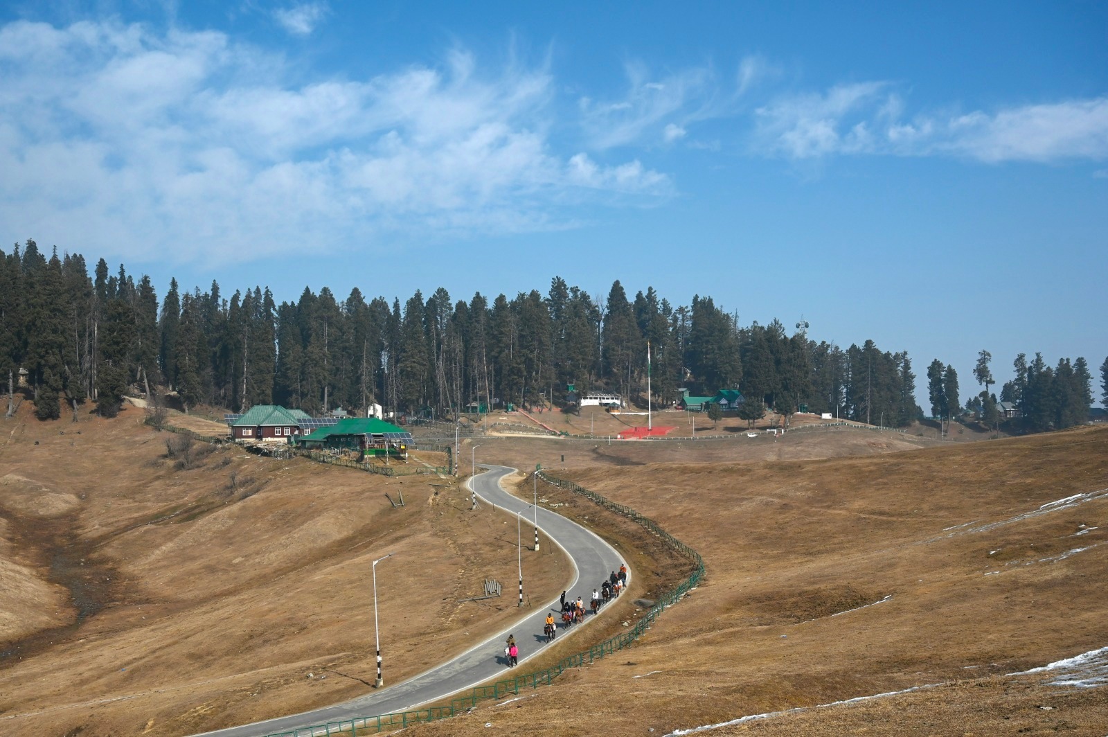
Between the warm waters of the equatorial ocean and a snow-covered Gulmarg or Sonamarg lie thousands of kilometres of atmosphere, multiple circulation systems and the complex geography of the Himalaya.
That is why meteorologists are reluctant to turn a global climate signal into a local verdict in September.
The coming weeks will offer more clues. Seasonal models will be updated, the behaviour of the jet stream will become clearer, and the frequency and trajectory of Western Disturbances will begin to emerge as winter approaches. NOAA’s long-lead schedule itself reflects this progressive refinement, with successive outlooks issued through October and November before the December seasonal outlook.
For now, El Niño provides a direction rather than a destination.
It tilts the odds towards a warmer and potentially drier background over the region, according to the experts consulted. But whether Kashmir’s mountains receive the snow needed to sustain their rivers and springs will depend on what happens much closer to home: how the westerlies move, where the jet stream sets up, how much moisture reaches the Himalaya and how many Western Disturbances arrive with enough strength to make a difference.
About the Author
Wajahat Iqbal Kashtwari is a filmmaker and multimedia professional with a keen interest in environment, ecology, and climate change.