
Jammu and Kashmir does not need another reminder that it is disaster-prone. It needs to decide whether development will continue to create vulnerability faster than disaster management can reduce it.
The recent parliamentary assessment of disaster management in the Union Territory is encouraging in one respect: the institutional architecture has improved. Disaster-management plans exist at the Union Territory and district levels; warning systems have expanded; response forces, emergency centres and community-volunteer programmes are in place.
But preparedness cannot be measured by the number of plans, committees or control rooms. It must be measured by what happens when a warning reaches the last village, when a road is cut off, or when a family living beside a floodplain has nowhere safe to go.
That is where the government must now concentrate.
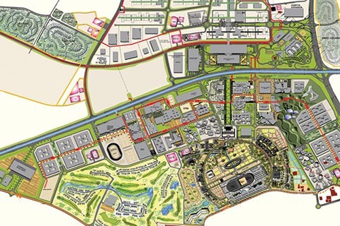
First, disaster risk must become a planning requirement, not an emergency subject. Every major road, bridge, tourism project, hydropower scheme and urban expansion should undergo a standardised multi-hazard assessment before approval. Landslide susceptibility, seismic risk, flood exposure, drainage patterns and, where relevant, avalanche and GLOF risks should be incorporated into project design from the beginning.
Risk reduction cannot remain a project-specific add-on. It should be part of the basic engineering brief.
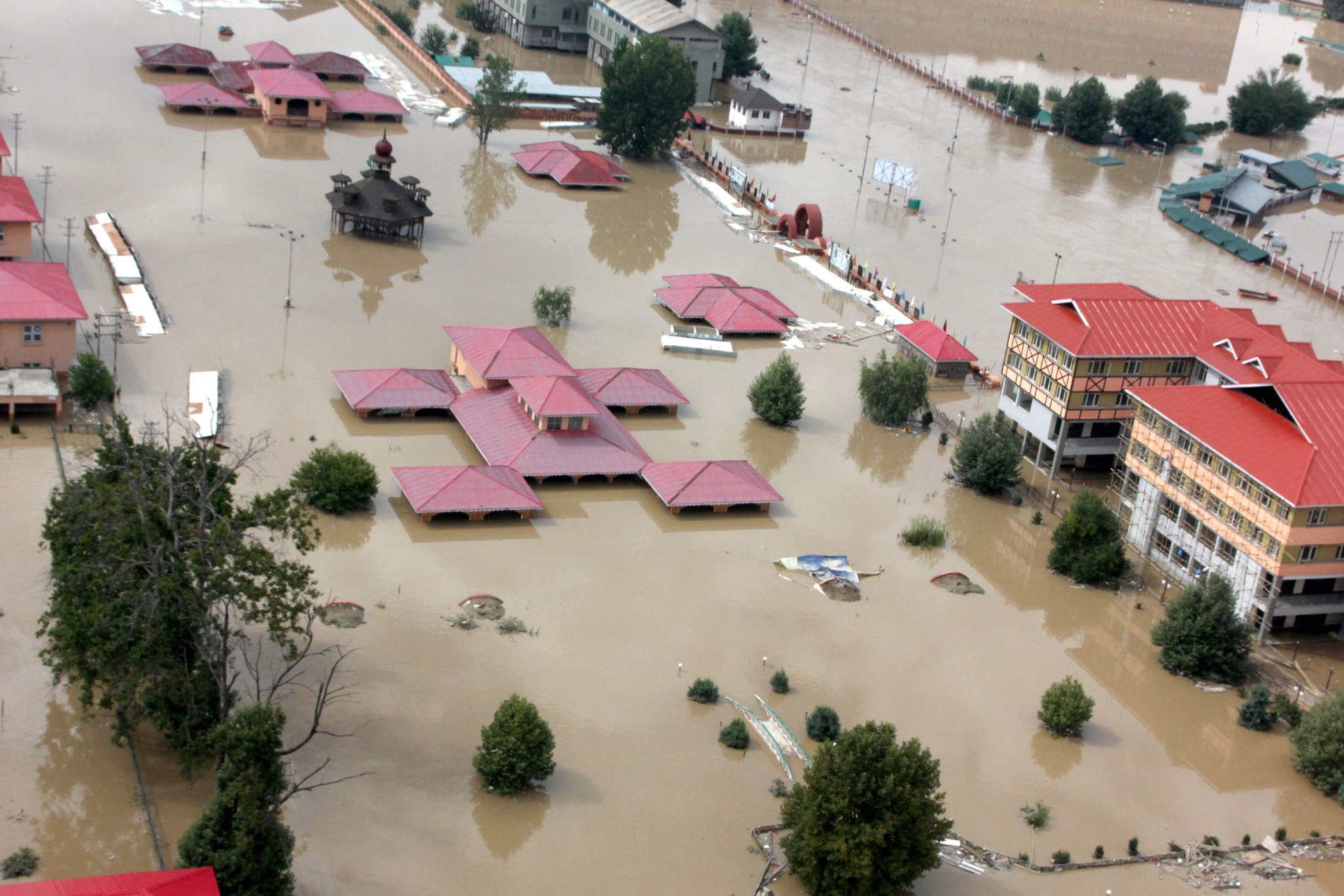
Second, land-use rules need enforcement, not merely notification. Floodplain zoning and earthquake-resistant construction norms are useful only when illegal construction carries consequences. Rapid peri-urban expansion around Jammu and Srinagar makes this particularly urgent. Authorities should identify high-risk areas, maintain publicly accessible hazard maps and make development permissions conditional on compliance with them.
Where construction has already entered vulnerable areas, the government needs a transparent strategy – whether through regulation, retrofitting, relocation or other technically viable measures.
Third, the last mile must become the first priority. A warning generated by sophisticated technology is of limited value if it cannot reach a remote household. Jammu and Kashmir should strengthen village-level sirens, local communication networks, trained volunteers and clearly designated evacuation routes, particularly in mountain districts.
Every vulnerable community should know three things: what the warning means, where to go and how to get there.
Fourth, monitoring must move from reactive to continuous. Satellites, rainfall sensors, river gauges and geological monitoring can identify changing conditions. But technology must be linked to field verification and predefined action. If a slope begins moving, there should be a protocol for inspection, traffic control, evacuation and stabilisation – not a scramble to determine responsibilities after the failure.
Fifth, critical infrastructure needs redundancy. Jammu and Kashmir’s dependence on a limited number of mountain corridors creates systemic vulnerability. When one highway closes, the effects extend far beyond the landslide site. Alternative routes, emergency stockpiles, resilient telecommunications and decentralised essential supplies should therefore be treated as components of disaster resilience rather than extraordinary arrangements.
Sixth, disaster funds must be judged by outcomes. Spending money on mitigation is not itself proof of preparedness. Projects need technical scrutiny, timelines, maintenance plans and independent monitoring. A retaining wall that deteriorates after two seasons is not resilience; neither is a drainage project that remains blocked when extreme rainfall arrives.
The government should also make community preparedness a permanent programme, rather than an occasional drill. Local volunteers often reach affected households before specialised teams can. Panchayats and urban local bodies should maintain updated lists of vulnerable residents, available shelters, equipment and local access routes.
Jammu and Kashmir has another reason to act now: climate and environmental changes are complicating hazards that were already difficult to manage. Extreme rainfall, changing snowfall patterns, glacial retreat and unstable mountain slopes demand planning based not only on historical experience but on emerging risks.
None of this means development should stop. Roads, homes, tourism infrastructure and economic projects are essential to J&K’s future.
But development in the Himalayas cannot be treated as if the terrain were merely empty land waiting to be built upon.
The central lesson from the parliamentary assessment is therefore not that J&K lacks a disaster-response system. It is that disaster risk has to enter ordinary governance.
A road should be designed with the mountain in mind. A town should grow with its floodplain in mind. A building should rise with its seismic risk in mind. A warning system should be designed around the person receiving the warning – not merely the agency issuing it.
Disaster management should ultimately become so embedded in development that it is no longer visible as a separate activity.
The strongest disaster response is still the disaster that causes less damage because vulnerability was reduced beforehand.
J&K cannot change its geography. It can, however, choose what it builds on that geography – and how safely it builds.
About the Author
Bilquees Punjabi holds a Master’s in Computer Applications and explores the evolving relationship between technology, digital media, audiences, and journalism.