


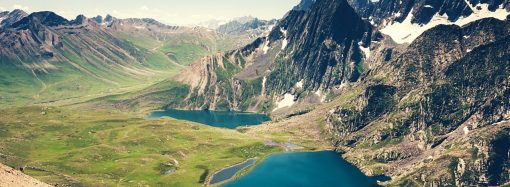

By Kashmir Impulse Desk Srinagar, April 5 A spell of widespread rain across the plains and fresh snowfall in the higher reaches has driven temperatures below seasonal norms across Jammu and Kashmir in recent days, as forecasters warned of another round of unsettled weather later this week. According to the Meteorological Department, daytime temperatures in
By Kashmir Impulse Desk
Srinagar, April 5
A spell of widespread rain across the plains and fresh snowfall in the higher reaches has driven temperatures below seasonal norms across Jammu and Kashmir in recent days, as forecasters warned of another round of unsettled weather later this week.
According to the Meteorological Department, daytime temperatures in Srinagar remained subdued over the weekend, reaching 16.3 degrees Celsius on Saturday and 17.3 degrees on Sunday – both below average for this time of year.
Night temperatures also dipped, settling at 7.6 degrees Celsius, about a degree below normal.
Similar conditions prevailed elsewhere in Kashmir.
Pahalgam recorded a daytime high of 10.2 degrees Celsius on Saturday before rising to 14.2 degrees on Sunday, while nighttime temperatures hovered at 4.2 degrees Celsius.
In Gulmarg, temperatures remained markedly low, with daytime highs near 5 degrees Celsius and a minimum slipping slightly below freezing.
Other areas, including Kupwara, Kokernag, and Qazigund, also reported a noticeable drop in daytime temperatures.
In the Jammu division, rainfall brought comparatively cooler conditions. Jammu city recorded a high of 30.1 degrees Celsius on Sunday, while Banihal, Batote, and Bhaderwah reported lower daytime temperatures of 19.2, 17.1, and 15.8 degrees Celsius.
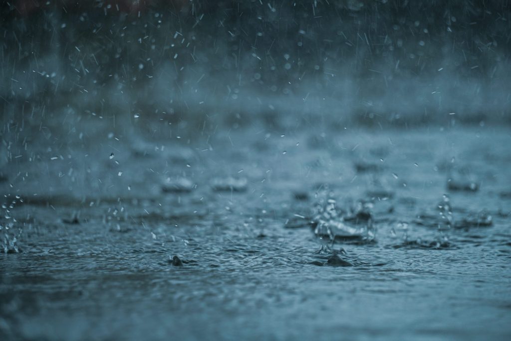
The recent weather system brought significant precipitation across the region.
Over the past two days, Srinagar received 25.1 millimeters of rain, while Gulmarg recorded 32.2 millimeters. Qazigund, Kupwara, Kokernag and Pahalgam also reported moderate rainfall.
In higher-altitude areas, fresh snowfall disrupted transportation across several key mountain passes, including Zojila, Sinthan Top and Razdan Top.
Authorities closed multiple roads, including the Mughal Road and the Bandipora-Gurez route, due to snow accumulation.
Traffic was also affected along the Srinagar-Jammu National Highway, particularly on the Banihal-Ramban stretch, where landslides and falling debris triggered by heavy rains slowed movement.
Meteorologists attributed the unsettled conditions to a series of western disturbances and said the pattern was likely to persist.
Director Meteorological Centre, Srinagar, Mukhtar Ahmad, said conditions would remain unstable through April 10.
Monday is expected to bring partly cloudy skies with light rain in isolated areas.
A more significant system forecast between April 7 and 9 is likely to produce widespread rain in the plains and snowfall in higher elevations, accompanied by thunderstorms and gusty winds.
The department has warned of possible hailstorms and wind speeds reaching 40 to 50 kilometers per hour during this period.
Brief but intense showers could trigger flash floods, landslides in vulnerable areas and waterlogging in low-lying region, officials said.
The recent precipitation follows an unusually dry winter. From November through February, the region recorded just 106.7 millimeters of precipitation, far below the seasonal average of 320.1 millimeters, a deficit of 67 percent classified as “large deficient.”
Although March brought several rounds of rainfall, the month still ended below normal.
Officials said Jammu and Kashmir received 100.7 millimeters of precipitation against a normal of 115.9 millimeters. Srinagar recorded a 23 percent shortfall, while Jammu saw a steeper deficit of 43 percent.
Several districts across Kashmir and Jammu divisions reported significant rainfall deficiencies, though a few areas, including Poonch and Samba, recorded above-normal precipitation.
Despite the shortfall, officials expressed cautious optimism.
March and April are typically among the wettest months in the region, and recent rainfall has helped ease the effects of the prolonged dry spell.
“This has replenished glaciers and recharged water bodies while also bringing relief to farmers,” Ahmad said. “However, the overall deficit remains large.”
He said that it was too early to determine whether April would close the gap, but said officials remained hopeful that continued precipitation in the coming weeks would improve the seasonal balance.


Leave a Comment
Your email address will not be published. Required fields are marked with *